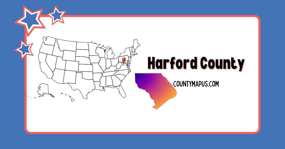
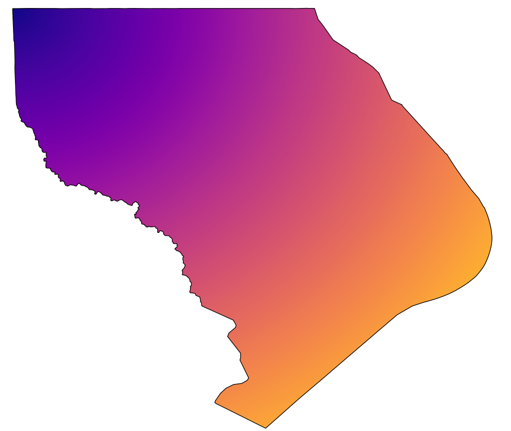
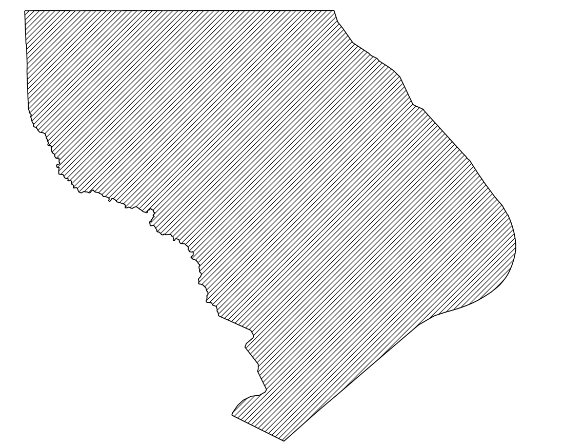
Harford County includes 3 incorporated municipalities (Bel Air, Aberdeen, and Havre de Grace) along with multiple census-designated places and unincorporated communities such as Abingdon, Edgewood, Fallston, Forest Hill, and Joppatowne. The full details given below:
Bel Air (County Seat)
Aberdeen
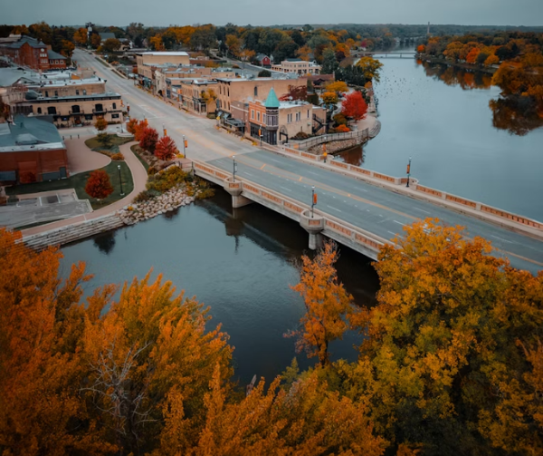
Havre de Grace
Census-Designated Places (CDPs) & Major Communities
Abingdon
Bel Air North
Bel Air South
Churchville
Darlington
Edgewood
Fallston
Forest Hill
Jarrettsville
Joppatowne
Perryman
Riverside
Street
Whiteford
Unincorporated Communities
Baldwin
Benson
Bynum
Cardiff
Dublin
Fawn Grove
Level
Norrisville
Pylesville
FAQs: Harford County, Maryland
❓ What state is Harford County in? Harford County is located in Maryland, in the northeastern part of the state.
❓ What county seat is Harford County? The county seat of Harford County is Bel Air.
❓ How many people live in Harford County? Harford County has an estimated population of about 265,000 residents.
❓ What county is Aberdeen, MD in? Aberdeen is located in Harford County, Maryland.
❓ Is Harford County part of the Baltimore metro area? Yes, Harford County is considered part of the Baltimore–Columbia–Towson metropolitan area.
❓ Is Harford County a good place to live? Yes, Harford County is known for strong schools, safe neighborhoods, parks, and proximity to Baltimore and Washington, D.C.
Newsletter Updates
Enter your email address below and subscribe to our newsletter


