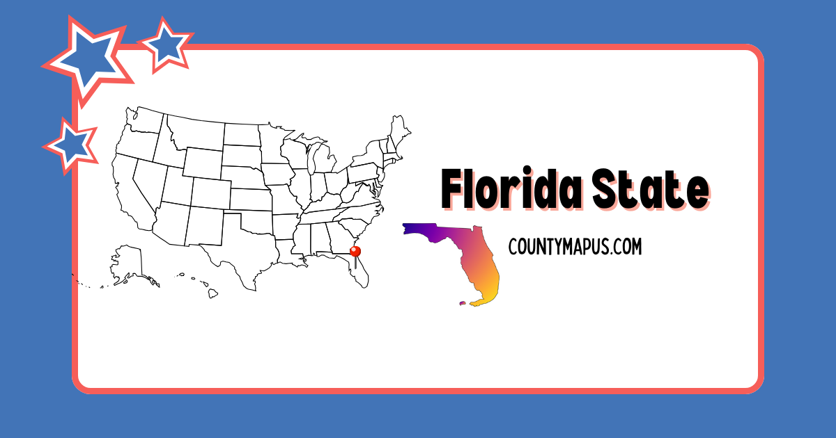
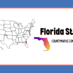
Florida State Overview
| Feature | Details |
| State Name | Florida |
| State Abbreviation | FL |
| Capital City | Tallahassee |
| Total Counties | 67 |
| Largest County (By Area) | Palm Beach County |
| Most Populated County | Miami-Dade County |
| 2024 Population Estimate | ~22.9 Million |
| Time Zone | Eastern Time (ET) & Central Time (CT) |
| FIPS State Code | 12 |
Top Counties in Florida (Population & County Seat)
| County | County Seat | Population (2024 est.) |
| Miami-Dade County | Miami | ~2.7 Million |
| Broward County | Fort Lauderdale | ~2.0 Million |
| Palm Beach County | West Palm Beach | ~1.6 Million |
| Hillsborough County | Tampa | ~1.5 Million |
| Orange County | Orlando | ~1.5 Million |
| Duval County | Jacksonville | ~1.0 Million |
Florida has 61 more counties. You will explore the complete alphabetical list below.
Download Florida State Map (Hi-Res)
| Format | Download |
|---|
| PNG Map | Download Now |
| PDF Printable | Download Now |
| SVG Editable | Download Now |
| GIS Shapefile (ZIP) | Download Now |
Full List of Florida Counties (Alphabetical)
- Alachua County
- Baker County
- Bay County
- Bradford County
- Brevard County
- Broward County
- Calhoun County
- Charlotte County
- Citrus County
- Clay County
- Collier County
- Columbia County
- DeSoto County
- Dixie County
- Duval County
- Escambia County
- Flagler County
- Franklin County
- Gadsden County
- Gilchrist County
- Glades County
- Gulf County
- Hamilton County
- Hardee County
- Hendry County
- Hernando County
- Highlands County
- Hillsborough County
- Holmes County
- Indian River County
- Jackson County
- Jefferson County
- Lafayette County
- Lake County
- Lee County
- Leon County
- Levy County
- Liberty County
- Madison County
- Manatee County
- Marion County
- Martin County
- Miami-Dade County
- Monroe County
- Nassau County
- Okaloosa County
- Okeechobee County
- Orange County
- Osceola County
- Palm Beach County
- Pasco County
- Pinellas County
- Polk County
- Putnam County
- Santa Rosa County
- Sarasota County
- Seminole County
- St. Johns County
- St. Lucie County
- Sumter County
- Suwannee County
- Taylor County
- Union County
- Volusia County
- Wakulla County
- Walton County
- Washington County
FAQs: Florida Counties
❓ How many counties are in Florida?
Florida has 67 counties, the same as Alabama.
❓ What is the largest county in Florida by area?
Palm Beach County is the largest by land area.
❓ Which county is Miami in?
Miami is located in Miami-Dade County, which is also the most populated county in Florida.
❓ What is the smallest county in Florida?
Union County is the smallest county by area and one of the smallest by population.
❓ What counties make up the Tampa Bay Area?
Hillsborough, Pinellas, and Pasco counties are commonly referred to as the Tampa Bay Area.
❓ Is Florida a good state to live in?
Yes, Florida is known for its warm climate, beaches, tourism, and no state income tax.