Maine is made up of 16 counties. If you’re looking for a quick reference, this page lists all Maine counties in alphabetical order. This guide provides a simple, alphabetical list of all counties in Maine along with brief context on how counties are used across the state.
Alphabetical List of Counties in Maine
Below is the complete list of all Maine counties in alphabetical order:
- Androscoggin County
- Aroostook County
- Cumberland County
- Franklin County
- Hancock County
- Kennebec County
- Knox County
- Lincoln County
- Oxford County
- Penobscot County
- Piscataquis County
- Sagadahoc County
- Somerset County
- Waldo County
- Washington County
- York County
Each county has a designated county seat, which typically serves as the center for courts and administrative offices.
Largest and Smallest Counties in Maine
Maine counties vary significantly in both size and population.
-
Largest county by land area: Aroostook County
-
Smallest county by land area: Sagadahoc County
-
Most populated county: Cumberland County
This variation reflects Maine’s diverse landscape, which includes coastal regions, forests, farmland, and sparsely populated rural areas.
Quick Facts About Maine Counties
- Total counties in Maine: 16
- Largest county by area: Aroostook County
- Most populated county: Cumberland County
Why County Lists Are Useful
An alphabetical county list is useful for:
-
Finding counties quickly on maps
-
Understanding census and population data
-
School and academic projects
-
Travel and regional planning
-
Government and administrative reference
County lists are often used together with county maps to give a clearer picture of geographic boundaries and relationships.
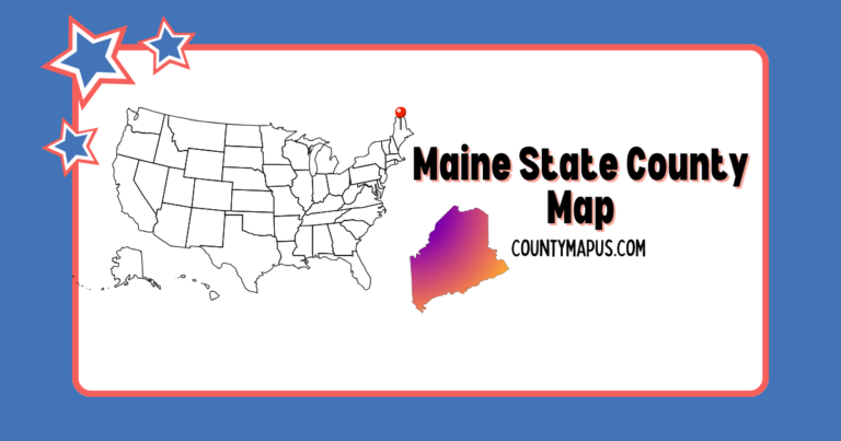
See Maine Counties on a Map
Want to view these counties on a map with boundaries, major cities, and printable downloads? Visit the complete guide here:
Maine County Map (16 Counties) – Cities, Populations, and PDF Download
FAQs
How many counties are in Maine?
Maine has 16 counties.
What is the largest county in Maine?
Aroostook County is the largest county by land area.
What is the most populated county in Maine?
Cumberland County is the most populated county in Maine.